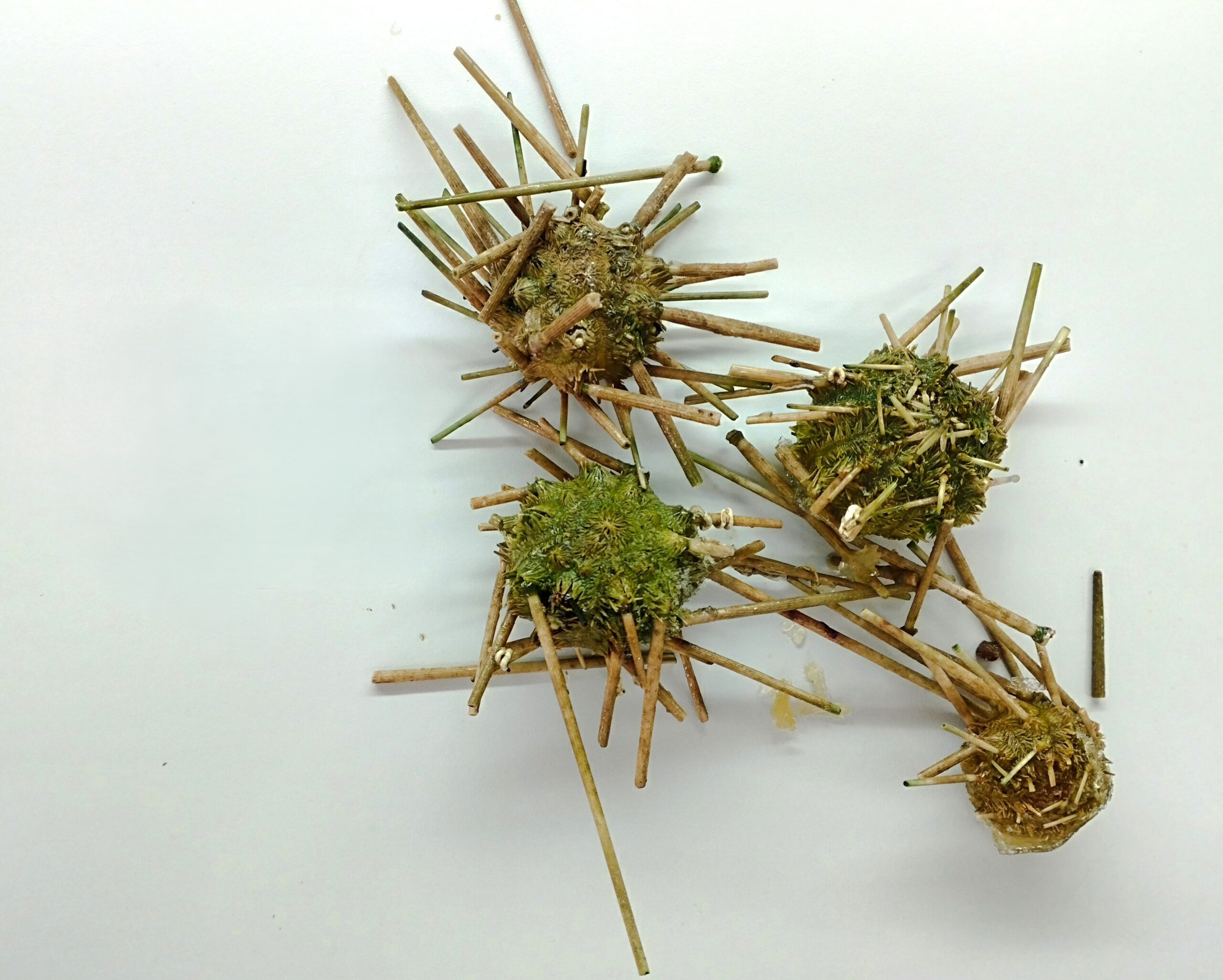
In September 2025, colleagues at IEO-CSIC began collecting images of seafloor organisms at sea to develop the BenthoSearcher 2.0 (an AI based computer vision tool trained to identify benthic organisms ). Since then, the dataset has more than doubled.
Building on the work done at sea
The first images were captured with the iObserver 2.0 electronic monitoring system during the DESCARSEL0925 campaign. In May and June 2026, the team continued the work in a controlled setting at CETMAR (Vigo). Each specimen was identified by experts, measured, weighed and photographed from several angles, alone and in overlapping groups, to mimic the conditions on a fishing vessel’s sorting belt.
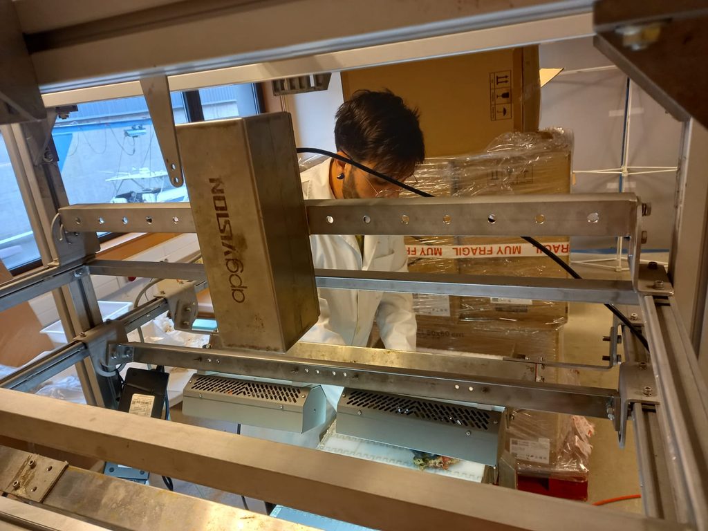
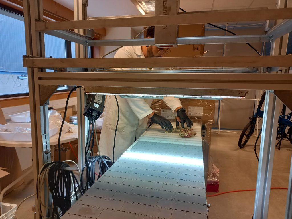
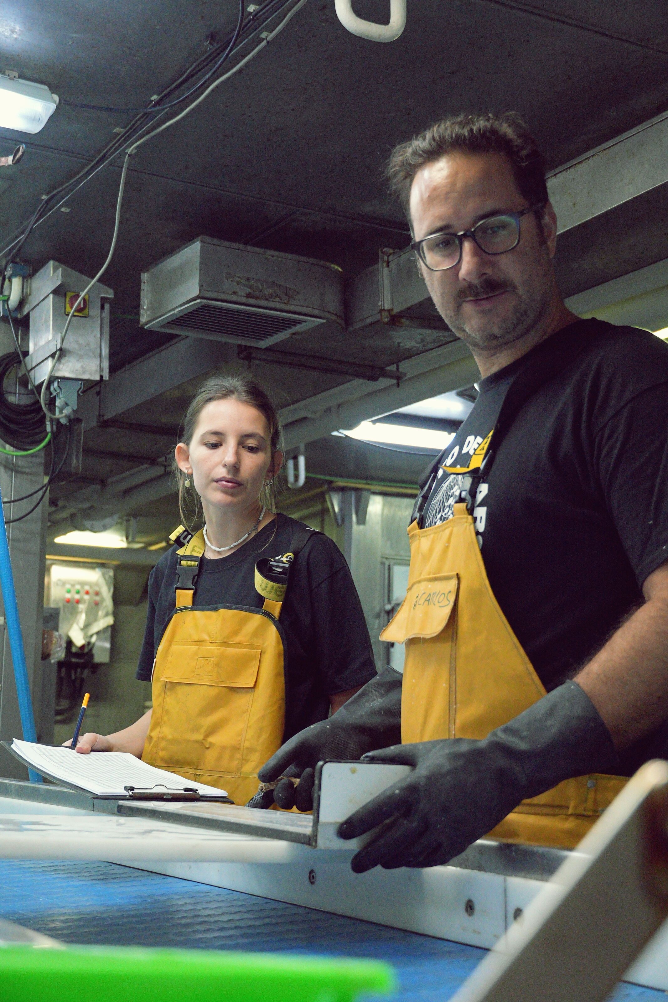
Colleagues at CSIC and at sea photographing and measuring the species brought back during the surveys.
The dataset today
Combining the at-sea and laboratory phases, it now includes:
- 3,994 photographs of benthic organisms
- 27 taxa, including corals, sea pens, sponges, anemones and echinoderms
- 238 specimens photographed in the laboratory
The most extensively photographed species are:
Desmophyllum pertusum — 393 images
Alcyonium palmatum — 239 images
Funiculina quadrangularis — 215 images
Pteroeides spinosum — 214 images
Madrepora aculeata — 143 images
Dendrophyllia cornigera — 139 images
The ISUNEP25_2606 and DESCARSEL0926 campaigns, completed in October 2026, brought back additional specimens that are waiting to be photographed. They will add more species, shapes and sizes, making the dataset more diverse and the future models more robust.
The next phase in the project
Many of these organisms are indicators of Vulnerable Marine Ecosystems (VMEs), which can be particularly sensitive to human activities. Teaching AI to recognize them in fishing catches could help us better understand where interactions with sensitive seabed habitats occur.
The next step is to use these images to develop, train and validate deep learning models capable of identifying and counting benthic organisms automatically.
Our ultimate goal? To turn images collected on fishing vessels into valuable scientific information, supporting improved monitoring, habitat mapping and more sustainable fisheries.